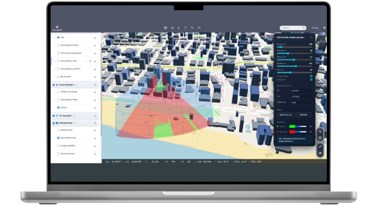
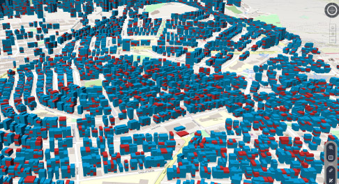
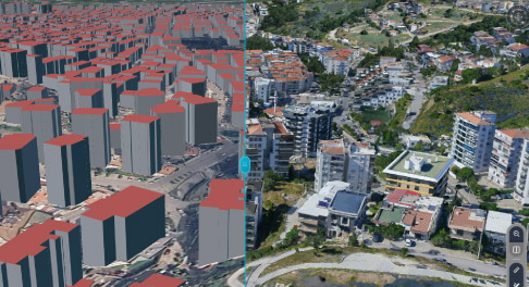
NetGIS 3D is a next-generation 3D GIS solution integrated with the Netigma platform, enabling organizations to visualize, analyze, and manage their three-dimensional geographic data.
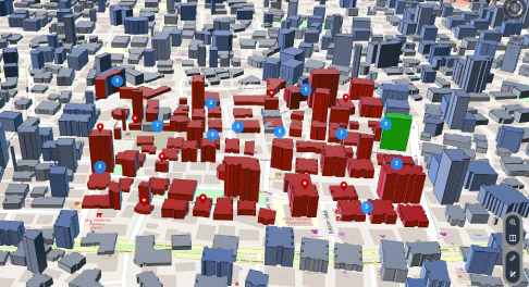
NetGIS 3D not only visualizes city models; it also brings Netigma’s querying, thematic mapping, clustering, heat map, reporting, and authorization infrastructure into the 3D environment, allowing organizations to benefit from advanced 3D capabilities without changing their existing business processes.
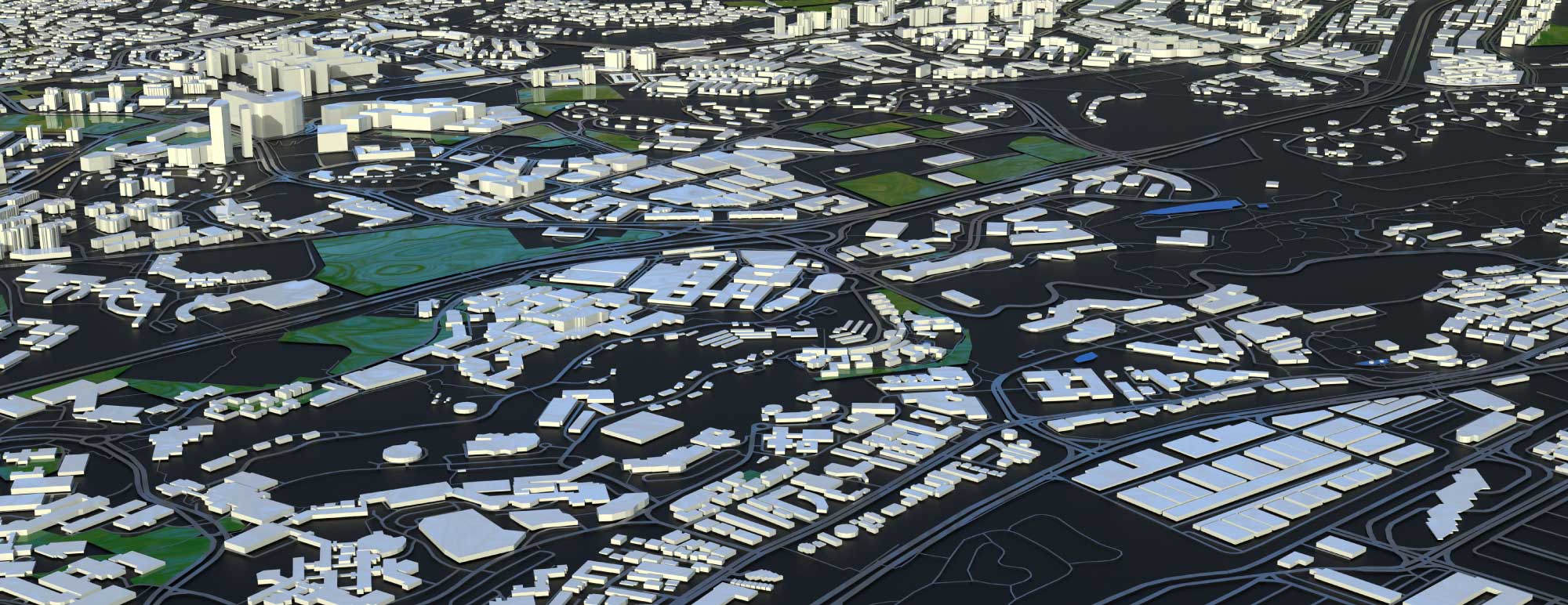
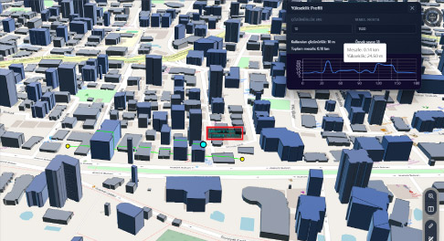
Thanks to 3D Tiles technology, the platform visualizes large-scale city models with high performance and strengthens decision-support processes through advanced spatial analyses such as flood, tsunami, visibility, shadow, silhouette, and elevation profile analyses. Analysis results can be transferred directly to the Netigma query infrastructure, reported, and used in corporate workflows.
NetGIS 3D offers a powerful, integrated, and sustainable 3D GIS platform for municipalities, public institutions, and the private sector in digital twin, urban planning, disaster management, and infrastructure management projects.
Thank you, we have received your form. We will get back to you as soon as possible.
There are incorrect fields, please check and resubmit.
NetGIS 3D operates as an integral part of the Netigma platform. Existing queries, result lists, thematic maps, clustering, heat maps, reporting, and authorization infrastructure remain available for use in the 3D environment.
Advanced Analysis and Simulation
Supports decision-making processes through analyses of floods, tsunamis, visibility, shadows, silhouettes, and elevation profiles.
Thematic Mapping Based on Independent Units
Thematic coloring can be performed at the individual unit level; results can be queried and reported.
High-Performance 3D Visualization
Large-scale city models are rendered with high performance using 3D Tiles technology.
External Data Management
GeoJSON, Terrain, and 3D Tiles data sources can be used in a single working environment.
F.A.Q.
Frequently Asked Questions About NetGIS 3D
Which data formats does NetGIS 3D support?
Supports 3D Tiles, Terrain, and GeoJSON.
Which spatial analyses are supported?
Flood, tsunami, visibility, shadow, silhouette, and elevation profile.
What is the main feature that distinguishes NetGIS 3D from other solutions?
Its integration with Netigma and its ability to transfer analysis results directly to queries and reporting.
Can it work integrated with Netigma?
Netigma’s querying and thematic mapping capabilities can be used in integration with the 3D environment.
Can external data be added?
Supported external data from different sources can be added to the project and used together in the 3D environment.
Are 360° images supported?
Panoramic images can be displayed in relation to the map through supported 360° image services.
How is performance ensured for large-scale city models?
Through dynamic data loading using 3D Tiles technology.
Contact
Easily contact our sales representatives or technical support team