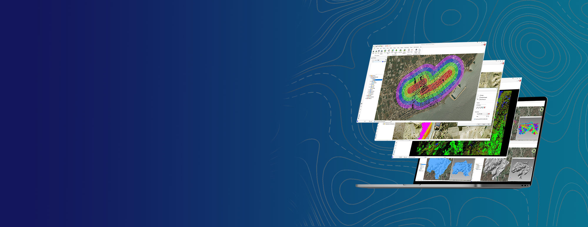
Analist is a user-friendly and powerful geospatial analysis software that enables in-depth analysis of spatial data. With advanced analytical tools and extensive modeling capabilities, it optimizes decision support processes across various industries. GIS-based analyses are critical for processing large datasets and evaluating spatial relationships.
Analist addresses these needs by offering comprehensive solutions such as spatial statistics, surface analysis, network analysis, and multi-criteria decision-making methods. Users can perform complex analyses on raster and vector data to conduct optimal site selection, zoning, risk assessment, and optimization studies. Fully integrated with the Netcad platform, Analist streamlines data management processes and offers broad applicability in multiple sectors. From urban planning to environmental management, from engineering to infrastructure projects, it supports effective decision-making processes across disciplines.Its dynamic analytical capabilities accelerate the resolution of complex spatial problems, enabling users to carry out detailed geospatial analyses. The precision and flexibility it provides during the analysis process ensure more accurate and reliable project outcomes.Thanks to its ability to work with various data formats, Analist creates a comprehensive analytical environment by unifying diverse data sources on a single platform. With Analist, you can access information quickly and reliably from raw data, thereby enhancing your spatial decision-making processes.
Thank you, we have received your form. We will get back to you as soon as possible.
There are incorrect fields, please check and resubmit.
Apart from analyzes such as slope, aspect, altitude, relief, color relief, you can perform second derivative topographic and hydrotopographic analyzes of altitude based on different scientific methods only with altitude input.
Remote Sensing Analysis
It provides the opportunity to perform different analyzes on satellite images by using remote sensing techniques. In this context, analyzes such as filtering, classification, accuracy analysis, histogram editing, tessellation, vectorization, fusion, band arithmetic, change analysis etc. can be used.
Spatial Analysis
It allows making spatial analysis. While analyzing with Analist's spatial analysis capabilities such as overlay, buffer, multiple buffer, density analysis, etc., you can also use its advanced filters.
Advanced Spatial Analysis
With the help of advanced operators and read-to-use models in Analist, you can use many raster and vector data as input and make advanced spatial analyses such as Weighted Overlay, Fuzzy Logic, M-AHP, Logistic Regression.
VIDEOS
Analist Features Videos
Check out informative promotional videos about product features.
Superficial and Advanced Spatial Analyses
Remote Sensing Vectorization
Remote Sensing Color Balancing
Remote Sensing Color Band Separation
Remote Sensing Filter
Time Traveler
F.A.Q.
Frequently Asked Questions About Analist
What types of analysis does Analist support?
In addition to basic spatial analyses such as overlay, buffer, multi-buffer, and density analysis, it also supports advanced techniques like Weighted Overlay, Fuzzy Logic, M-AHP, and logistic regression.
Can remote sensing analyses be performed?
Yes. Operations such as filtering, classification, accuracy assessment, histogram adjustment, mosaicking, vectorization, band arithmetic, and change detection can be performed on satellite imagery.
What types of data can it work with?
It can work with both raster and vector data sources and use them as inputs for analysis.
Which industries can benefit from its use?
It can be used in many sectors including urban planning, environmental management, agriculture, forestry, geology, mining, and infrastructure projects.
How are the analysis results visualized?
Analysis results can be visualized on maps and reported in various formats.
Is data integration possible?
Yes. Data from different sources can be integrated and used in analyses.
What operators can be used during analysis?
A wide range of analyses can be carried out using advanced operators and predefined models.
Can the analysis results be exported?
Yes. Analysis results can be exported and reported in various formats.
Which operating systems are supported?
Netcad Analist operates on the Windows operating system.
Testimonials from Analist Users
I've been working as an academic for almost 25 years. At various times during this time, I've felt the need to perform spatial analysis in my work. In the early years, we developed various algorithms ourselves. In later years, with the advancement of computers and software, we became more able to perform such analyses, but using this software was also very difficult. In the last few years, I've been introduced to Netcad and Netcad Analist. I've seen and understood how much easier our work can be. Analyst has been further developed during this period. I contributed to this development process, and I'm extremely pleased with the results. Regardless of the field requiring spatial analysis, Netcad's contribution to academia, by providing spatial analysis capabilities, is immense. For this reason, I congratulate them and hope that such R&D efforts will continue to increase.
Prof. Dr. Candan Gökçecioğlu
Hacettepe University
The inability to produce Geographic Information Systems (GIS)-based data in our country, the limited data produced, and the lack of a standard are directly related to the shortage of trained personnel in this field. Therefore, we are conducting a series of training programs. These training programs can be summarized as follows: Netcad, which provides national GIS and CAD-based software support, has been used both in our educational courses and as part of the project "Creating and piloting a distance learning-supported model to expand the use of GIS." To ensure the widespread adoption of geographic information systems by the Ministry of Environment and Urbanization and to create employment opportunities for the GIS Specialist standard, Anadolu University's distance learning opportunities were used effectively in the training of approximately 650 personnel nationwide.
Yrd. Doç. Dr. Uğur Avdan
Anadolu University
Contact
Easily contact our sales representatives or technical support team