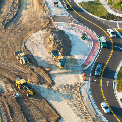
Manage all processes in transportation and water infrastructure projects, from design and detailed calculations to excavation and completion, on a single platform.
Netkamu is a highly accurate auditing and reporting software that prepares expropriation projects for areas such as canals, roads, ponds, and power lines in accordance with legislation.
NetHydro is a high-precision engineering solution that combines hydrological analysis, flood flow calculations, and drainage structure sizing processes on a single platform.
Yapınet is a solution that manages 3D cadastral projects in full compliance with TKGM (Turkish Land Registry and Cadastre Directorate) regulations, and accelerates modeling and data production processes.
Dronet is a desktop software solution that generates orthophotos, mesh models, and digital terrain models from drone data, accelerating photogrammetric analysis processes.
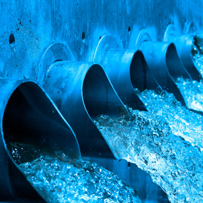
Water is a professional engineering solution that manages the design, modeling, and implementation processes of drinking water distribution systems, ensuring the efficient use of water.
Canalise is specialized engineering software that provides design, hydraulic analysis, and regulatory compliance output production in sewage, stormwater, and wastewater projects.
Nettop manages land consolidation projects in accordance with current legislation, offering highly accurate solutions for parceling and distribution processes.
VGA is a management tool that converts CAD data into GIS data in a controlled manner and dynamically transfers geometry and feature information to a database.
E-İmar, which enables citizens to access zoning information online, is a transparent information application that reduces the workload of municipalities.
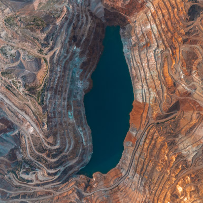
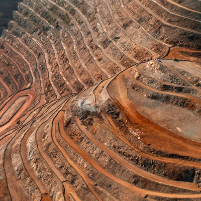
NETPROMine is a 3D integrated design solution that manages all processes in open-pit and underground mining, from geological modeling to production planning.
Netçap, which draws from various data sources, is a reporting module that quickly prepares standardized reports, automated drawings, and print-scale documents.
Analyst is software that performs in-depth analysis of spatial data and transforms complex datasets into decision support processes with its extensive modeling capabilities.
Network Analysis is the Netcad solution used to perform impact and accessibility analyses for infrastructure network elements in the electricity, water, and natural gas sectors.
It is a visualization solution that digitizes engineering projects with 3D visualization, simulation, and texture mapping tools; and works interactively with all Netcad modules.
Excanet meets the excavation and embankment planning needs of various engineering disciplines, offering highly accurate volume calculations for projects.